.svg)
Webinar: Virtual Disaster Management for Geohazard Investigation and Monitoring Event
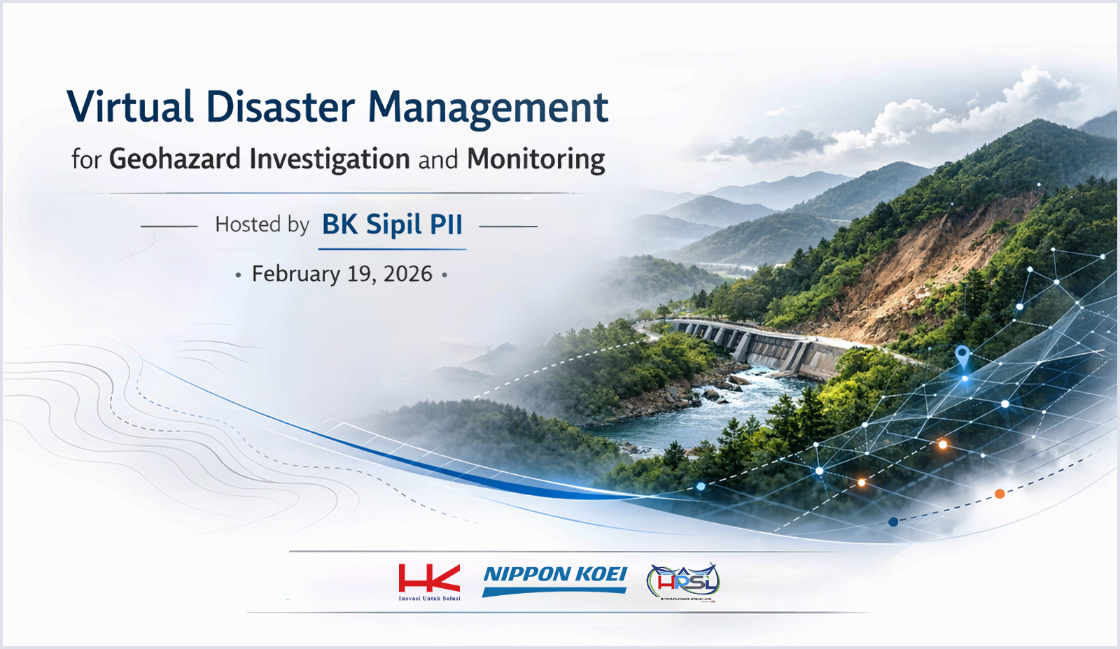
Date : Feb 2026
JAKARTA - We are very proud to be one of the sponsors of the webinar titled “Virtual Disaster Management for Geohazard Investigation and Monitoring,” held on February 19, 2026. The event was hosted by the Institution of Engineers Indonesia – Civil Engineering Chapter (BK Sipil PII).
Delivered primarily via Zoom and supported by live streaming on YouTube, the webinar successfully reached a wide audience, attracting more than one thousand registrants from across the engineering and infrastructure community. The strong participation reflected the growing interest in digital approaches to disaster risk reduction and geohazard management.
The webinar explored how advanced technologies—including digital mapping, artificial intelligence, satellite analysis, and immersive visualization—are transforming geohazard investigation and monitoring practices.
Mr. Tomoyuki NISHIKAWA, Geotechnical Engineer (speciality: Landslide), also a Senior Manager, International Geohazard Management Department of Nippon Koei Co., Ltd, acts as one of the speakers in this event. He contributed to the technical discussions by sharing insights from Japan’s experience in landslide risk management.
In his presentation, Mr. Nishikawa addressed the following key topics:
1. Japan’s Landslide Hazard Maps, outlining systematic hazard classification and its role in land-use planning and disaster preparedness.
.jpg)
2. Identification of Landslide Topography using AI and Satellite Analysis, utilizing these technologies, we can be more efficient in terms of labour-saving and the time required to get the interpretation result.
.jpg)
3. Advanced Technology for Sabo Dam Design, highlighting engineering innovations for sediment control and debris flow mitigation.
.jpg)
4. Multi-Hazard Maps and Visualization using Augmented Reality, illustrating how interactive visualization tools improve risk communication and decision-making processes.
.jpg)
Through our sponsorship and active participation, our company remains committed to supporting technical collaboration and advancing resilient infrastructure through innovation and knowledge sharing.
You may also watch the webinar recording on the official YouTube channel of BK Sipil PII below.
What's New ?
JSCE Award FY 2024 For Asahan No. 3 Hydroelectric Power Project
Read articleJudul News 6
Memorandum of Agreement between the University of Hasanuddin and Nippon Koei
Read article
.png)
Jakarta Representative Office